FAQs
- Vegetation and Fuel Types
- Historical wildfire activity in the area
- Topography and slope
- Weather and climate
- Community and Infrastructure
- Evacuation routes
- Emergency response capacity
- Values at risk
What is a Community Wildfire Resiliency Plan?
A Community Wildfire Resiliency Plan is a strategic document that identifies wildfire risks to a community and recommends actions to reduce those risks. It helps communities prepare for, withstand, and recover from wildfire events. It combines technical research, field work and analysis, with community values, knowledge and history to help direct local governments toward more resilient communities.
Why does our community need a CWRP?
Wildfires are becoming more frequent and severe. A CWRP helps us identify where on the landscape we are most at risk, and what values we need to protect, allowing us to prioritize the protection of people, property, infrastructure, cultural values and natural resources.
How is Wildfire Risk assessed?
Wildfire Risk is determined through a technical analysis of factors such as:
What is the Wildland Urban Interface (WUI)?
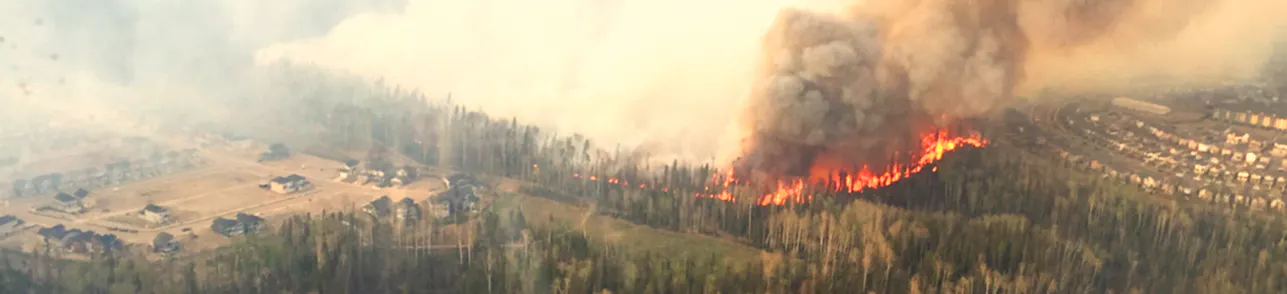
The Wildland Urban Interface is the area where homes and communities meet and intermingle with forests and natural vegetation. The WUI typically has an increased fire risk and therefore a focus of community plans like CWRPs.
Will this project include making fire breaks or doing fuel treatment?
No. This project will not include the implementation of fuel breaks or fuel treatments. CWRPs are strictly a planning tool. However, the CWRP may identify locations on public lands that are good candidates for conducting fuel treatments. These will be recommendations only, and it will be up to the the local government authority to decide if fuel treatment should be pursued in these areas.
Will you be analyzing my property/farm/back yard?
No. CWRPs focus on a landscape-level analysis, and only include publicly owned property. Wildfire risk will not include any privately owned lands like farms, back yards, or privately owned forested lands.