
Sproat Lake Active Transportation Network Plan
Draft plan now ready for your review!
The draft Sproat Lake Active Transportation Network Plan is now available and ready for your feedback. If you have the opportunity, please share your feedback on the draft plan at the open house, which is scheduled for Wednesday May 15 from 4:30-7pm at the Sproat Lake Community Hall.
Project Overview
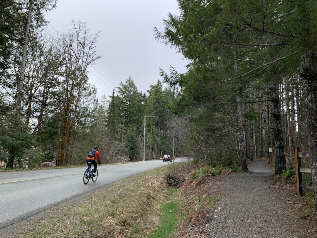
The Alberni-Clayoquot Regional District, in collaboration with WATT Consulting Group, is developing an Active Transportation Network Plan for Sproat Lake (Electoral Area D). The development of an ATNP for Sproat Lake presents an opportunity to improve the community’s existing assets by expanding the function of its trail network, linking population centres with services and amenities, and increasing its service potential to a greater number and diversity of users who wish to travel via active modes. While the ATNP is not a trails master plan, it will provide direction on how the network could be enhanced to better connect active transportation users to the trails.
The ATNP process consists of four phases, as follows:
- Phase 1 - Completing a baseline conditions review of the existing active transportation network in Sproat Lake to understand gaps, barriers, and key opportunities.
- Phase 2 - Undertaking the first round of public engagement to understand the key barriers to active transportation in the community and what Sproat Lake residents, visitors, and business owners would like to see addressed in the ATNP.
- Phase 3 - Developing the infrastructure and policy / programmatic recommendations in the draft ATNP.
- Phase 4 - Presenting the draft ATNP to the community for input before finalizing the plan.
What is Active Transportation?
Active transportation, as defined in the BC Active Transportation Design Guide, includes any form of human-powered transportation, including walking, cycling, or rolling using a skateboard, in-line skates, wheelchair, or other wheel-based forms of human-powered transportation.
What is an Active Transportation Network Plan?
An Active Transportation Network Plan is a strategic document that lays out the vision and key goals for how Sproat Lake will enhance its active transportation. The purpose of the ATNP is to identify gaps in the active transportation network, improve the quality and experience for people walking, biking, and rolling, provide a roadmap for high priority improvements over the next 10 years, and increase the share of trips completed by active modes of transportation. The development of an ATNP for Sproat Lake presents an opportunity to improve the community’s existing assets by expanding the function of its trail network, linking population centres with services and amenities, and increasing its service potential to a greater number and diversity of users who wish to travel via active modes.
